- An Alliance For Community Action
- (970) 256-7650
- info@WesternColoradoAlliance.org

Come hike with us in Ouray and Montrose Sept. 26 and Oct. 2!
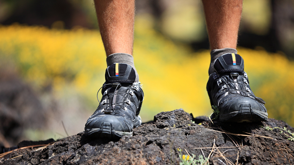
With the recent release of the Grand Mesa, Uncompahgre, Gunnison (GMUG) Forest Plan, we are excited to be hosting hikes in your area to learn more and discuss the GMUG area. Our first two hikes will be forays into the beautiful landscapes around Ouray and Montrose!
Ohio Peak (Ouray)
Sunday, September 26, 2021
Description: This is a short, easy/moderate cross country route to the saddle and on to the peak. This hike offers great views of the San Juan Range. You can see your destination from the trailhead. Even the access road is moderate. This hike was given a 6-star rating (their highest) in the book, Southwest Colorado High Country Day Hikes – Ouray, Silverton & Lake City, by Anne and Mike Poe.
Meeting Place: We will be meeting at 4H Event Center (22739 US-550, Ridgway, CO 81432) at 9 am.
Trailhead Location: Drive out of Ouray on Hwy 550 to Red Mountain Pass. Just past the crest of Red Mountain Pass, turn east/left on to San Juan County Road 14. Drive a couple miles to the trailhead. It’s a moderate gravel road and clearance is useful but not essential. There is no trailhead marker. Once you break above timberline, the road will be fairly level for a while before dropping down to the valley. Park just before it starts dropping down.
Hike Details:
- 2.0 miles RT.
- Moderate.
- Easy tundra and animal trails cross country.
- Mostly moderate gradient with one short steep section from the saddle to peak (for those who want to climb the peak.)
- Average time: 2-2.5 hours
- Trailhead at 12,070 ft with saddle at base of Ohio Peak at 12,303 ft. The highest point at 12,674 if you continue on to Ohio Peak.
Falls Creek (Montrose)
Saturday, October 2, 2021
Description: This is an easy hike to overlook! The hike goes up an expansive, glacial valley. There are views most of the way up, except for a few short sections of forest. This hike features a waterfall at the end of the trail, which is not actually visible. You can, however, hear the falls, which drop about 200 feet.
Meeting Place: We’ll be meeting at the Montrose Autozone (257 E Main St, Montrose, CO 81401) at 8:30 am.
Trailhead Location: From Montrose, head east on US 550 past Cimarron. After Cimarron, turn at Little Cimarron Road, AKA USFS Road 864. Follow Little Cimarron Road 14 miles to the parking lot at Fall Creek Trailhead. A gate here prohibits use further up the road.
Hike Details:
- 4.3 miles RT.
- Easy.
- 456-Foot Elevation Gain.
- Average Time: 4 hours.
We hope you can join us for what are sure to be beautiful and memorable hikes through two lovely parts of Western Colorado!
Before moving to Grand Junction, Nick was a teacher on the front range. His wife and he moved to Grand Junction in 2018 and have loved living here ever since. Nick has been involved in several local campaigns. Nick worked with Western Colorado Alliance in the Grand Junction community center campaign and helped during the 2020 Lobby Trip to Denver before officially becoming an organizer specializing in the areas of public lands and local foods.